
Çukur, Keles — Real Estate Services in Bursa
Çukur is a neighbourhood in the Keles district of Bursa (rural districts).
We currently have no active listings in Çukur. Tell us what you are looking for, or browse listings in Keles.
Property owner: I want to let my property · Buyer: Browse properties for sale · Tenant: Browse properties for rent, Create a tenant request
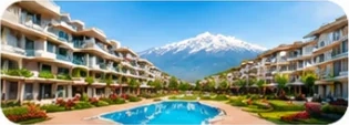
RESIDENTIAL
Apartments, villas, detached houses, residences, summer houses and other residential types
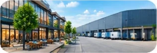
COMMERCIAL / BUSINESS PREMISES
Factories, warehouses, shops, offices, office towers, business centres and other commercial types
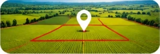
PLOT / FIELD / LAND
Building plots, fields, vineyards, orchards, olive groves and other land types

TOURISM FACILITY
Hotels, boutique hotels, motels, guesthouses, holiday villages and other tourism types


Location
Çukur lies about 33 km (straight line) from Bursa city centre (Heykel).
Nearest neighbourhoods
View on OpenStreetMap · Location data: © OpenStreetMap contributors (ODbL)
Nearby (approx. 700 m)
- Schools and education: 3 (e.g. Bursa Uludağ Üniversitesi Keles Meslek Yüksekokulu, Davut Zeki Akpınar Yatılı Bölge Ortaokulu, I.Murat İlkokulu)
- Health facilities and pharmacies: 4
- Places of worship: 3
Counts are points recorded in OpenStreetMap; some may be missing or out of date. © OpenStreetMap contributors (ODbL).
Nearest recorded facilities (straight line, up to 1 km)
- School: Davut Zeki Akpınar Yatılı Bölge Ortaokulu — approx. 0.5 km
- Health facility: Keles Devlet Hastanesi — approx. 0.5 km
Nearest named facilities recorded in OpenStreetMap; they may lie outside the neighbourhood. The search distance depends on the settlement type (urban 1 km, semi-urban 2.5 km, rural 5 km; rail at least 3 km). A type with no record is not shown — this does not mean the facility does not exist. © OpenStreetMap contributors (ODbL).
Land use and access
- Recorded land use nearby (approx. 3 km): farmland, forest, orchards
- Nearest main road: 16-50 (approx. 1 km in a straight line)
Based on OpenStreetMap records; not a substitute for title deed or zoning status — verify each parcel with official sources. © OpenStreetMap contributors (ODbL).
There are no neighbourhood-specific questions for Çukur yet, because the site holds no verified data for it (live listings, registered housing complexes or a land profile). General questions on selling, letting and valuation: Frequently asked questions — Bursa →
Other neighbourhoods in Keles
Information is for general guidance; price, zoning and title status are verified from official records for each property. BURSABROKER does not publish listings on request; authority is granted by a written agreement.